
en
Läs i våra appar:
iOS
·Android
Jeremy Black
Maps of War
Berätta för mig när boken läggs till
Intryck
Lägg till i bokhylla
Redan läst
Rapportera ett fel i boken
Dela
Facebook
Twitter
Kopiera länk
För att kunna läsa den här boken överför filer i EPUB- eller FB2-format till Bookmate. Hur laddar jag upp en bok?
- Om
- Läsare1
- Relaterade böcker
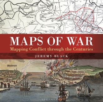
There is little documented mapping of conflict prior to the Renaissance period, but, from the 17th century onwards, military commanders and strategists began to document the wars in which they were involved and later, to use mapping to actually plan the progress of a conflict. Using contemporary maps, this sumptuous new volume covers the history of the mapping of war on land and shows the way in which maps provide a guide to the history of war. Content includes:The beginnings of military mapping up to 1600 including the impact of printing and the introduction of gunpowderThe seventeenth century: The focus is on maps to illustrate war, rather than as a planning tool and the chapter considers the particular significance of maps of fortifications.The eighteenth century: The growing need for maps on a world scale reflects the spread of European power and of transoceanic conflict between Europeans. This chapter focuses in particular on the American War of Independence.The nineteenth century: Key developments included contouring and the creation of military surveying. Subjects include the Napoleonic Wars and the American Civil WarThe twentieth century including extended features on the First and Second World Wars including maps showing trench warfare and aerial reconnaissance. Much of the chapter focuses on the period from 1945 to the present day including special sections on the Vietnam War and the Gulf Wars.
Den här boken är inte tillgänglig just nu
379 trycksidor


Har du redan läst den? Vad tycker du om den?
👍👎

fb2epub
Dra och släpp dina filer
(upp till fem åt gången)